
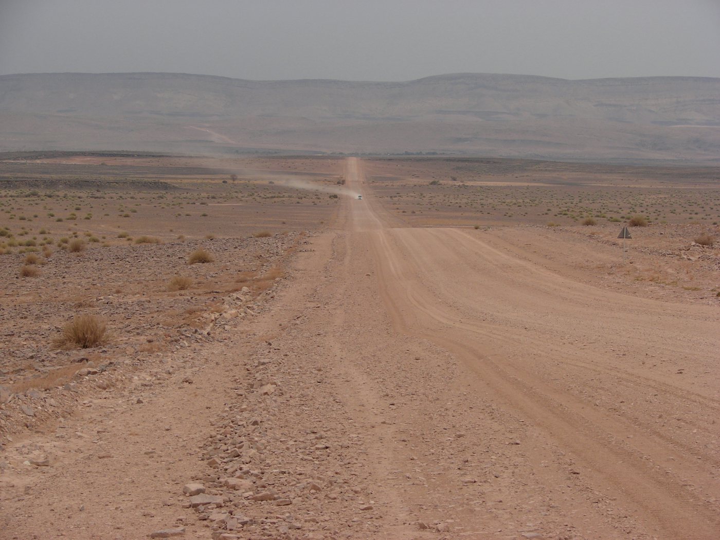
Self-Drive Namibia
Practical, honest guidance for planning and driving your own Namibia road trip
Prefer a package where the vehicle, insurance and route are already arranged for you? Compare vetted Self-Drive Namibia Tours, or see fully Guided Namibia Tours if you would rather not drive at all.
Home » Self-Drive Namibia
Namibia is one of Africa’s most popular self-drive destinations. Good tar roads link the main towns, gravel roads reach most parks and remote areas, distances are long, and traffic is light outside a handful of towns. Self-driving gives independent travellers control over pace and route, but it also demands real preparation: this guide covers the vehicle, road and safety knowledge that makes an independent Namibian road trip work well.
Why self-driving is common
Namibia has a small population spread across a very large area, and public transport between towns is limited and infrequent. Self-driving is therefore the practical way to see more than one or two regions, and it is well supported: hire-car and 4×4 rental agencies are established in Windhoek and other centres, road signage is generally clear, and fuel stations exist at reasonably predictable intervals on main routes. Most visitors combine a hire vehicle with pre-booked accommodation, driving between stops over one to three weeks.
Distances and route realism
Namibia is roughly 825,000 square kilometres, and popular circuits easily cover 3,000 to 4,000 kilometres over two weeks. A map distance of 300 kilometres can take four hours or more on gravel, so it is easy to underestimate driving time. Build in more time than a straight-line calculation suggests, plan no more than one significant transfer day between stops, and avoid arriving anywhere after dark.
For the actual numbers, our Namibia driving distance and time planner lists approximate road distances, surfaces and realistic driving times for the main tourism legs, grouped by corridor, with conservative daily caps you can plan against.
Main road categories
Namibia’s roads fall into a few clear categories: B-roads are the main tarred routes between major towns; C-roads are usually well-maintained gravel roads forming the backbone of the secondary network; D-roads are smaller gravel roads, sometimes rough, narrow or seasonal; and park and farm tracks can require higher clearance or 4×4. Road numbers and surface type are usually marked on printed and digital maps, and it is worth checking the surface type for each planned leg before departure.
Popular self-drive route regions
Namibia self-drive itineraries are usually built around a handful of core regions, each with a different road character and driving experience. These link through to full destination guides.
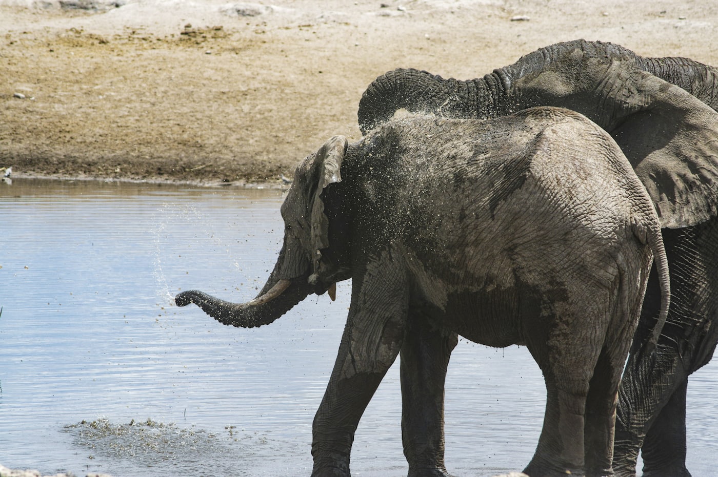
Central & Etosha route. Mostly tar and well-graded gravel linking Windhoek to Etosha National Park; a good introduction to self-driving in Namibia.
Explore Etosha »
Namib Desert & Sossusvlei route. Gravel roads through open desert scenery, with some soft-sand sections near the dunes themselves.
Explore Sossusvlei »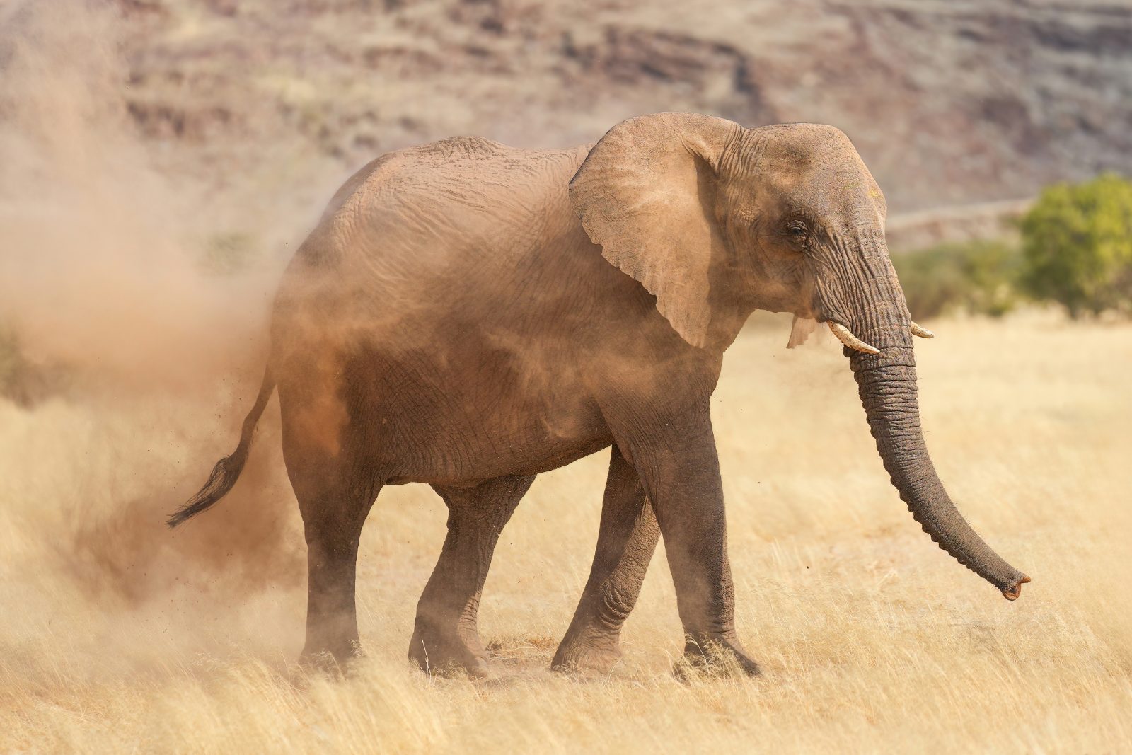
Damaraland & north-west route. Rougher gravel and occasional rocky sections; higher clearance and extra care are more often useful here.
Explore Damaraland »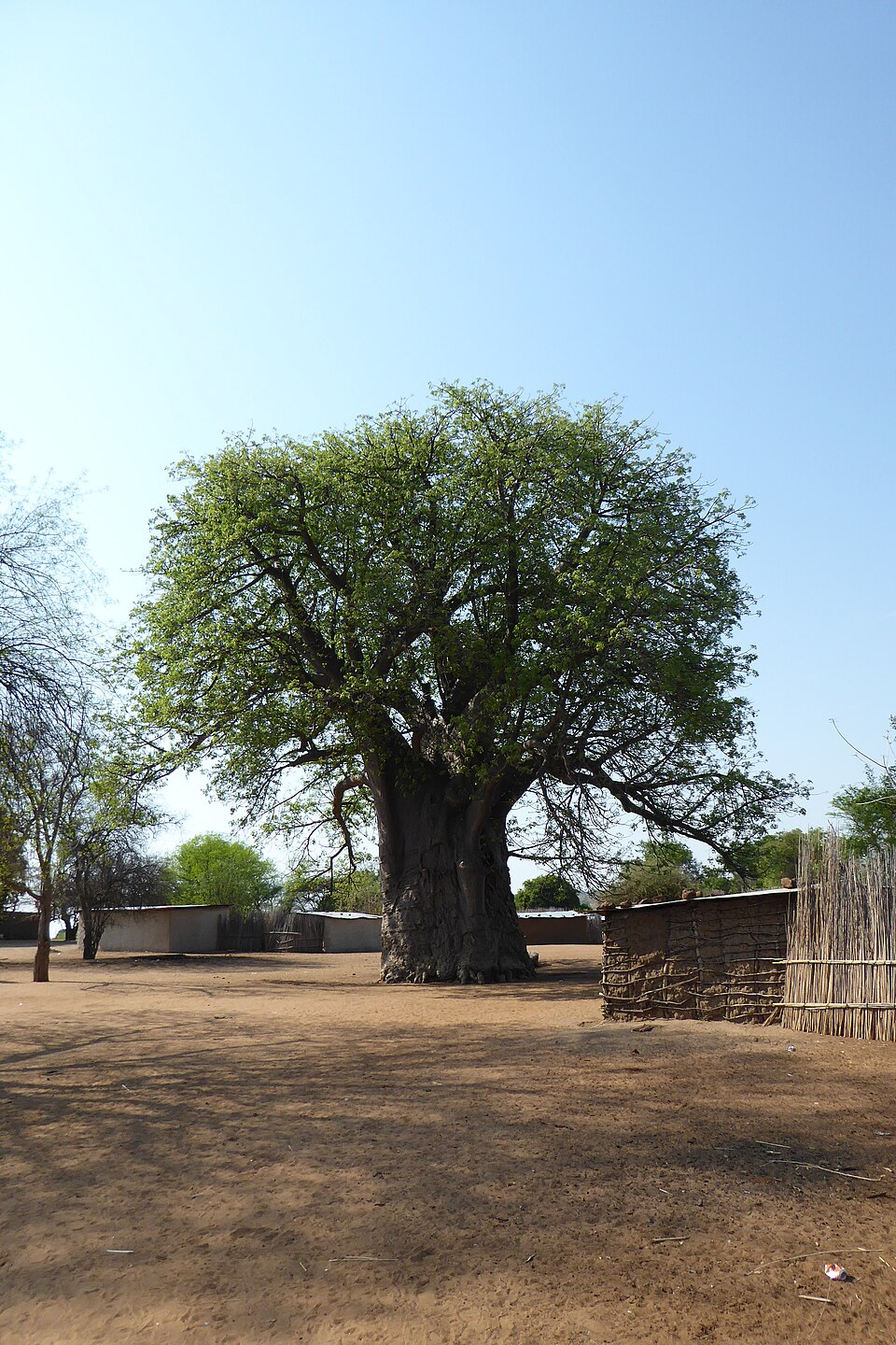
Zambezi & Caprivi route. Mostly tar road through a greener, more populated part of Namibia, with wildlife and livestock crossing the road more frequently.
Explore Zambezi Region »Self-drive routes, itineraries and guided tours: which do you need?
Searches for “self-drive tours” in Namibia cover three quite different needs, and it is worth knowing which one applies to you before you start booking.
If you want a ready-made route — overnight stops, realistic daily distances and a sensible order to see things in — work from a fixed duration. The 7-day and 10-day itineraries cover the classic Sossusvlei, Swakopmund and Etosha corridor; the 14-day and 21-day itineraries add Damaraland, the south and the north-east.
If you are deciding whether to drive it yourself at all — what vehicle you need, what the gravel is actually like, how far apart the fuel stops are — that is what the rest of this page is for. Read it alongside the best time to visit Namibia, since season changes road conditions more than any other single factor.
If you want someone else to drive for a day, that is a separate thing and it sits comfortably inside a self-drive trip rather than replacing it. Dune and living-desert drives at Swakopmund, Sandwich Harbour 4×4 trips, Etosha game drives and scenic flights are all booked locally as day activities — see tours and activities.
One thing worth naming plainly: a packaged “self-drive tour” sold by an operator is usually a hire vehicle plus pre-booked accommodation along a fixed route, with you still doing all the driving. There is nothing wrong with that, but it is not a guided tour, and you can assemble the same trip yourself using the itineraries above and the regional accommodation listings — usually with more control over where you actually sleep.
Prefer someone else to organise the route?
Self-driving is the default in Namibia, but it is not the only option. These three are guided and semi-guided alternatives that cover the same ground without you doing the driving or the booking.
Tours and activities in self-drive and guided Namibia
6-Day Etosha, Swakopmund and Sossusvlei Self Drive Tour
A 6-day self-drive rental-vehicle package from Windhoek through Etosha, Swakopmund and Sossusvlei, with lodges and…
View Tour Details11-Day Self-Drive for Beginners Safari in Namibia
An 11-day self-drive 4x4 rental package from Windhoek through Waterberg, Etosha, Damaraland, Swakopmund and…
View Tour Details10 Day Discover Namibia Small Group Safari
A 10-day small-group, guide-led safari from Windhoek through the Namib Desert, the Skeleton Coast, Damaraland and…
View Tour Details

Gravel-road preparation
Most self-drive itineraries involve substantial gravel driving. Reduce speed on gravel, increase following distance, and avoid sudden braking or steering inputs, which can cause a vehicle to lose traction on loose surfaces. Corrugations (regular ripples in the road surface) are common; driving too slowly can feel worse than a moderate, steady speed, but every vehicle and road is different, so adjust to conditions rather than following a fixed rule. Loose gravel on corners and dips deserves particular caution.
Vehicle-selection principles
Choose a vehicle that matches your actual route. A standard sedan is adequate for tar-road travel between major towns, but most cross-country Namibian itineraries are better suited to a higher-clearance vehicle, and travel into Etosha, the far north-west, or remote parks typically calls for a 4×4. Fully equipped 4×4 and camping rentals from established Namibian operators often include practical extras such as a second spare wheel, tool kit and fuel or water containers; standard 2WD cars usually do not, so confirm exactly what is included before departure.

Choosing the right vehicle matters more than the badge on it. A well-maintained 2WD is enough for most main gravel routes in good weather, but tyre condition, ground clearance and your own comfort with gravel driving matter more than whether a vehicle is technically labelled 4×4.
When a 4×4 may be appropriate
A 4×4 is generally worth considering for the Kaokoland and Kunene region, remote parts of Damaraland, some Kalahari and communal-area routes, and river-bed or sand tracks anywhere in the country. It is less necessary for a standard circuit limited to Windhoek, Etosha’s main tourist roads, Swakopmund and Sossusvlei’s public access roads, where a well-maintained 2WD with good clearance is often sufficient. Where in doubt, ask the rental company or a local tourism office about current conditions for the specific route planned.
Tyres and puncture preparation
Punctures are the most common Namibian self-drive breakdown, largely due to sharp stones on gravel roads. Check that the hire vehicle carries at least one full-size spare in good condition, ideally two on remote routes, along with a working jack and wheel spanner. Reduce tyre pressure slightly for extended gravel sections if the vehicle manual and rental company support this, and have punctures repaired at the next town rather than continuing on a repaired spare for long distances.
Fuel planning
Fuel stations are common in towns but can be 200 kilometres or more apart in remote areas, and some rural stations keep limited hours or occasionally run short of stock. Refuel whenever the tank drops below half in remote regions, rather than waiting for a specific low level, and carry cash as some smaller stations have unreliable card facilities. A supplementary fuel container is a sensible addition for travel in the far north-west or deep Kalahari.
Water and food
Carry more drinking water than seems necessary, particularly for desert and remote-area travel: several litres per person per day is a reasonable minimum in hot conditions. Basic supplies (bread, fruit, tinned food, snacks) are available in most towns, but choice narrows considerably in smaller settlements, so shop for multi-day stretches in the larger centres such as Windhoek, Otjiwarongo, Tsumeb, Swakopmund or Keetmanshoop.
Mobile coverage limitations
Mobile signal covers main towns and most tar-road corridors, but drops out completely across large stretches of gravel road, in most parks, and throughout the north-west. Do not rely on a phone signal for navigation, breakdown assistance or emergency contact once off the main routes. Tell your accommodation your expected arrival time so that a missed check-in is noticed.
Navigation and offline maps
Download offline maps before departure, since online mapping is unreliable once signal is lost. A dedicated offline navigation app or a good printed map (many are sold locally) works well alongside road signage. Confirm turn-offs at junctions rather than trusting distance alone, since some gravel junctions are poorly marked, and re-check your planned route the evening before each drive.
Speed and fatigue
Long, straight gravel and tar roads encourage speeding and can dull concentration. Keep speeds moderate, take a break at least every two hours, and avoid scheduling more than about five to six hours of actual driving in a single day where possible. Fatigue and excess speed, not wildlife or road surface alone, are common contributing factors in Namibian road incidents.
Wildlife and livestock on roads
Free-roaming livestock, and in some areas wild animals such as kudu, warthog or baboon, can appear on roads with little warning, especially around dawn, dusk and at night. Slow down through communal and farming areas, and near signposted game corridors, and always assume an animal may be just out of sight at the roadside.
Night driving
Night driving substantially increases the risk of an animal or livestock collision and makes hazards such as potholes or soft gravel edges harder to see. Plan each day’s driving to finish well before sunset, and treat any unavoidable night drive with extra caution and reduced speed.
Seasonal weather
Namibia’s dry season (roughly May to October) generally offers the most predictable driving conditions. The wet season (November to April) can bring sudden, heavy rain in the north and east, softening gravel roads and occasionally causing localised flooding. Check conditions locally before departure during the wet season, particularly in the Zambezi Region, Kavango and parts of the north-central area.
Flash floods and river crossings
Dry riverbeds can fill rapidly after rain far upstream, even under a clear local sky. Never attempt to cross a flowing or recently flooded drift or riverbed if the depth or current is uncertain; wait, or ask locally about an alternative route. This is a genuine seasonal hazard in the north and north-east in particular.
Border-route preparation at a high level
Several classic itineraries pass near or use border regions, such as routes toward Botswana via the Buitepos crossing or toward Zambia and Zimbabwe via the Zambezi Region. Requirements, fees and documentation for vehicle border crossings change, so confirm current rules directly with the relevant border post or an official government source shortly before travel rather than relying on general guidance.
Park access considerations
National parks such as Etosha have defined entry gates, gate hours and permit requirements, and some require booking ahead for camping. Confirm current gate times and entry procedures before arrival, since arriving after closing can mean a long wait or a detour to alternative accommodation.
Remote north-west travel
The Kaokoland and Kunene region, including routes toward Epupa Falls, Sesfontein and Puros, involves some of Namibia’s most remote driving: fuel, water, mechanical assistance and mobile signal are all scarce. A 4×4 with full recovery equipment, a second vehicle or a guided option, and a realistic buffer of extra time and supplies are strongly advisable here.
Coastal fog
The Namib coast, including the Swakopmund and Walvis Bay area, experiences regular sea fog, particularly in the morning. Reduce speed and use headlights in foggy conditions, and allow extra time for coastal-road legs scheduled early in the day.
Desert heat
Interior and desert regions can reach very high daytime temperatures, especially between October and March. Avoid leaving passengers, pets or supplies in a parked vehicle, check coolant and tyre condition before long desert legs, and carry extra water specifically for the vehicle as well as for people.
Emergency preparation
Carry a basic first-aid kit, a torch, extra warm clothing (desert nights are cold even after hot days), and the contact details of your accommodation and vehicle rental company. Know the location of the nearest town or facility on each day’s route before setting out, since formal roadside assistance can be slow to reach remote areas.
Responsible driving
Stick to existing roads and tracks, particularly in the desert and in sensitive conservation areas, where fresh tyre tracks can scar the landscape for years. Respect speed limits through villages and communal farmland, and give way to livestock and pedestrians.
Planning checklist
Before departure: confirm the vehicle’s clearance and spare-wheel provision for your route; download offline maps; plan fuel stops for remote legs; check the season and any river-crossing risk; confirm park gate times and permit needs; pack water, basic first aid and warm clothing; and share your rough itinerary with your accommodation or a contact at home.
Frequently asked questions
Do I need a 4×4 to self-drive in Namibia?
Not always. A well-maintained 2WD with good clearance can manage a standard circuit on main tar and gravel roads, but a 4×4 is generally the safer choice for the north-west, remote parks and sandy or riverbed tracks.
Is it safe to self-drive as a first-time visitor?
Many first-time visitors self-drive successfully in Namibia, provided they prepare for gravel roads, long distances and limited services, and drive cautiously, especially around dawn, dusk and at night.
How much should I budget for fuel?
Fuel costs vary with vehicle, route and current pricing, so check up-to-date fuel prices before your trip and build in a margin for remote legs where prices are typically slightly higher.
Which side of the road do you drive on in Namibia?
The left, with the steering wheel on the right, as in South Africa, Botswana and the UK. If you normally drive on the right, the two things that catch people out are roundabouts and pulling out of fuel stations, so take the first day slowly.
Do I need an international driving permit?
Not if your licence is in English and carries a photograph. If it is in another language or has no photo, carry an International Driving Permit alongside it. Our border-crossing guide covers the full document list, including the letter of authority hire cars need to leave the country.
Last reviewed: 23 July 2026.
Related guides: Namibia Itineraries, Travel Planning, Destinations.
Related planning pages
Namibia Itineraries. Ready-made route ideas that put this self-drive guidance into a day-by-day plan.
View itineraries »
Destinations. Browse individual regions, towns and parks in detail before finalising your route.
Browse destinations »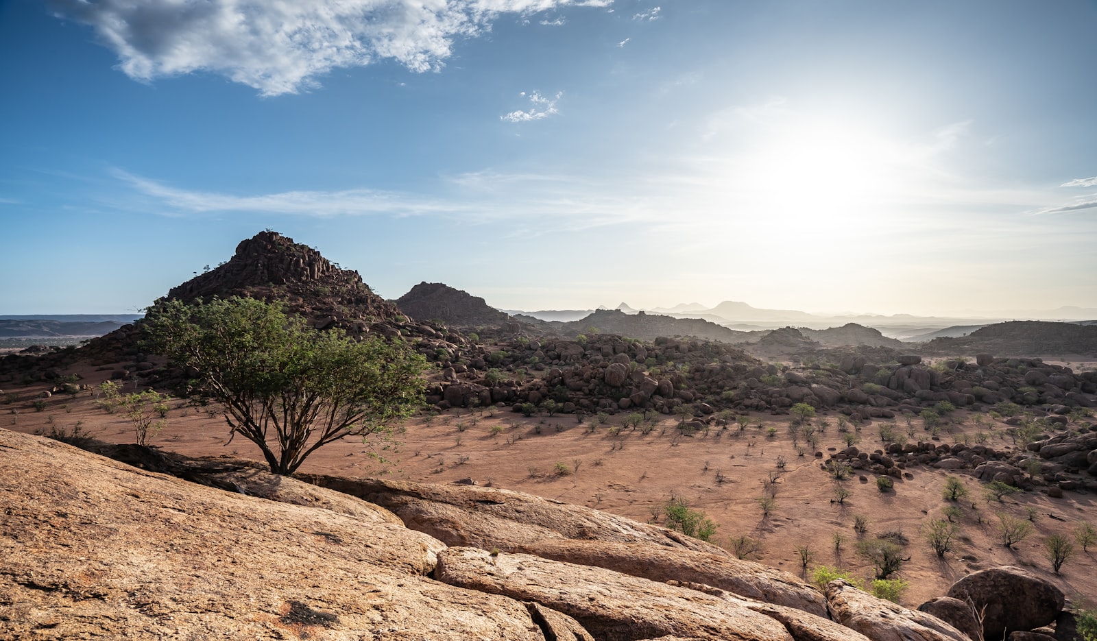
Travel Planning. Wider practical guidance covering visas, health, money and other trip logistics.
Travel planning hub »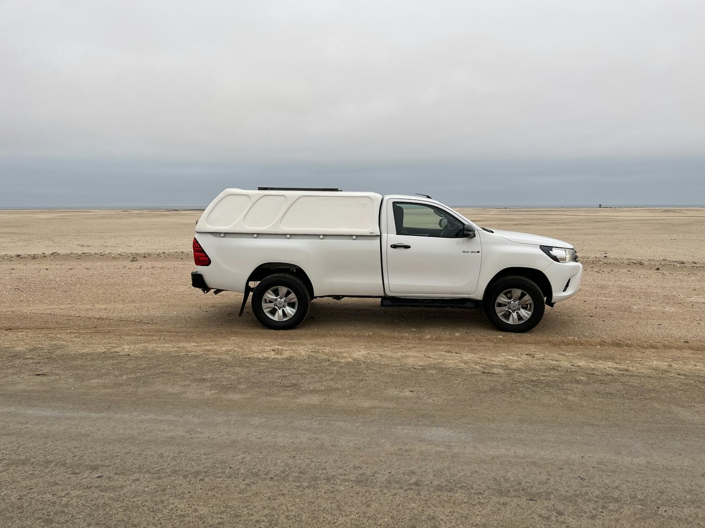
Car Hire in Namibia. What you are actually renting: contract limits, insurance excess and which pickup point suits your route.
Car hire guide »Ready to plan your route?
Use this guidance alongside our itineraries and destination pages to plan a self-drive trip that matches your vehicle, budget and comfort with gravel roads.
See sample itinerariesImages: existing Namibia Travel Guide media library (self-drive gravel road, Etosha, Sossusvlei/Deadvlei, Damaraland and Zambezi Region photography). Last reviewed: 27 July 2026.
Three guides go with this one: driving in Namibia covers what the roads are actually like — gravel, tyres, fuel planning and animals — and 4×4 vs 2WD in Namibia works through what vehicle you genuinely need, while the mistakes to avoid collects the planning errors that cause the most trouble on the road.
Two more practical guides go with this: fuel planning in Namibia, which explains why you plan by station rather than by range, and is Namibia safe, which sets out where the real risks on a self-drive trip actually lie. If you are choosing between routes rather than worrying about them, the best scenic drives in Namibia covers the roads worth building an itinerary around.
If your route starts or ends outside Namibia, the paperwork matters as much as the driving: crossing the border into Namibia by car covers vehicle papers, the letter of authority hire cars need, and which posts stay open through the night.