
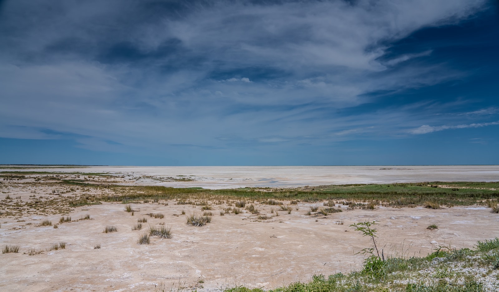
Etosha and Central North
Namibia’s premier wildlife destination and the towns that support it
Destinations › Etosha and Central North

Etosha and Central North is built around Namibia’s most famous wildlife destination, Etosha National Park, together with the cluster of towns that support it: Outjo to the south, Tsumeb to the east, and Grootfontein and Otavi further out on the region’s agricultural and mining fringe. Most visitors come for Etosha itself, but the surrounding towns provide fuel, supplies, accommodation and a handful of worthwhile detours, including a meteorite and a wartime relic lake, that reward travellers who are not in a rush to move on.
Etosha and Central North at a glance
- Region: north-central Namibia, centred on Etosha National Park
- Main towns: Outjo, Tsumeb, Grootfontein, Otavi
- Known for: Etosha’s waterhole game viewing, the Otavi triangle’s mining and farming towns, Lake Otjikoto and the Hoba Meteorite
- Suits: self-drive safari travellers, anyone combining Etosha with a wider north or central Namibia route
- Access: mainly via the B1 from Windhoek or Tsumeb, or the C38/C39 from Kamanjab and Damaraland
Geographic setting
The region centres on the Etosha Pan, a vast salt depression that dominates the northern part of this area, surrounded by mopane woodland, grassland and bush. To the east and south, the “Otavi triangle” of Tsumeb, Otavi and Grootfontein sits on more fertile, mineral-rich ground, historically important for both copper mining and commercial farming, forming a markedly different landscape from the flat pan country further west.
Landscape and climate
Around Etosha, the terrain is dry savanna and mopane woodland giving way to the stark white pan itself. Further east around Tsumeb and Grootfontein, the land is greener and more wooded, supported by higher rainfall and, in places, karst geology that produces sinkholes and underground water features such as Lake Otjikoto. The dry season (roughly May to October) is warm and dusty with clear skies, while the wet season (November to April) brings good rains, green landscapes and dispersed wildlife.
Historical context
Etosha was first proclaimed a game reserve in 1907 under German colonial administration, one of the oldest protected areas in Africa, though its boundaries were redrawn repeatedly during the twentieth century, in some cases displacing Hai||om San communities who had long lived in and around the pan. Tsumeb’s history is tied closely to copper mining, which drew German and later South African investment from the early twentieth century and produced one of the world’s most mineralogically diverse ore bodies, still referenced by collectors internationally.
Grootfontein and Otavi grew as farming and rail towns supporting this mining economy, and Lake Otjikoto holds a specific wartime footprint: retreating German forces dumped weapons and equipment into the lake in 1915 rather than surrender them to advancing South African troops during the First World War, some of which have since been recovered and displayed locally.
Cultural context
This region sits at a crossroads between Namibia’s central farming belt and the more densely populated north, and its towns reflect a mix of German-Namibian mining and farming heritage alongside the Owambo, Hai||om and other communities who live and work across the area. Tsumeb in particular retains a strong sense of its mining-town identity, with a museum dedicated to the mine’s history and mineral finds.
Why visit
Etosha itself is the overwhelming draw, and rightly so: it is one of the most reliable self-drive game-viewing destinations in Africa. The surrounding towns are worth a little more time than most visitors give them, since Tsumeb’s museum and Lake Otjikoto, and Grootfontein’s Hoba Meteorite, offer genuinely interesting stops that most Etosha itineraries skip entirely in the rush between the park’s gates.
Main towns and settlements
Outjo, south of Etosha’s Andersson Gate, is a small, pleasant farming town and the usual fuel and supply stop for visitors approaching from Windhoek, well known locally for a bakery famous for its apple pie.
Tsumeb, east of the park near the Von Lindequist Gate, is a green, well laid-out former mining town with a strong museum covering both its mineralogical and military history, and a good base for travellers approaching Etosha from the north-east.
Grootfontein, further east again, is an agricultural service town and the closest base for visiting the Hoba Meteorite, with its own small fort museum covering the area’s colonial and farming history.
Otavi, a small town at the junction of the roads linking Tsumeb, Grootfontein and Otjiwarongo, functions mainly as a route junction and minor service stop rather than a destination itself, though it shares farming and mining history with its larger neighbours.
Towns and places in this region
Individual destination guides cover each place in more depth, with photography where available.
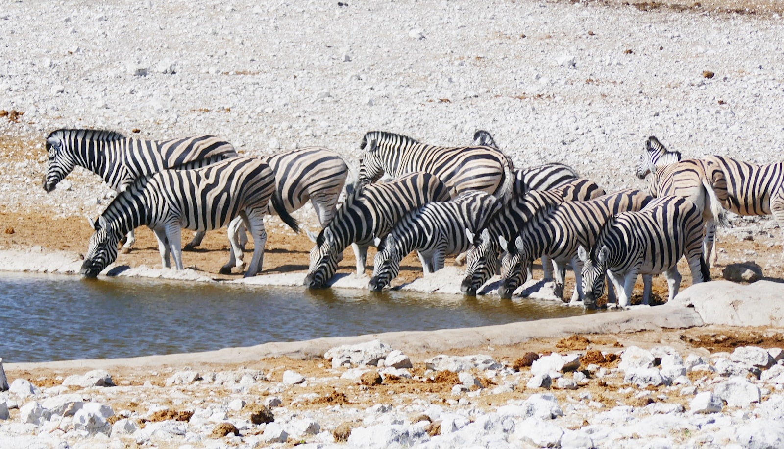
Etosha National Park. One of Africa’s great wildlife-viewing destinations.
Explore »Outjo. A convenient supply town on the southern approach to Etosha.
Explore »Tsumeb. A historic mining town near Etosha’s eastern side.
Explore »National parks, reserves and conservancies
Etosha National Park, covering around 22,000 square kilometres including the pan itself, is Namibia’s flagship wildlife destination and is covered in full detail in its own destination guide, including gates, rest camps, waterhole viewing and self-drive planning.
Natural attractions
Lake Otjikoto, a striking sinkhole lake near Tsumeb formed by a collapsed karst cavern, is one of only two permanent natural lakes in Namibia and is popular with both casual visitors and divers, partly for its unusual geology and partly for the German First World War weapons known to lie in its depths. The Hoba Meteorite, near Grootfontein, is the largest known intact meteorite on Earth’s surface, an 60-tonne mass of iron-nickel alloy that has lain roughly where it fell for tens of thousands of years and can be visited via a short signposted access road.
Suggested self-drive routes
Most visitors enter Etosha via Andersson Gate from Outjo, spend two to four nights moving between rest camps, and exit via Von Lindequist Gate toward Tsumeb, where a stop at Lake Otjikoto and the mining museum makes a natural add-on before continuing east or south. Travellers with an extra half-day can detour to Grootfontein for the Hoba Meteorite before rejoining the main road network.
Typical route connections
The B1 links this region south to Otjiwarongo, the Waterberg and Windhoek, and north to Ondangwa and the North-Central Namibia region. The C38 and C39 connect Kamanjab and Damaraland to Etosha’s western side via Otjovasandu, and the B8 (Trans-Caprivi Highway) begins its long run east from Tsumeb and Grootfontein toward Rundu and the Zambezi Region.
Best time to visit
The dry season, roughly May to October, is best for game viewing in Etosha, as animals concentrate at waterholes. Lake Otjikoto and the Hoba Meteorite can be visited comfortably at any time of year, so the timing of a visit to this region is generally driven by Etosha’s game-viewing calendar rather than the towns themselves.
Suggested length of stay
Two to four nights inside Etosha is typical, plus one additional night in or near Tsumeb or Outjo if combining the park with Lake Otjikoto, the Hoba Meteorite or the Otavi triangle towns.
Guided game drives and tours
Self-drive works well in Etosha, but guided game drives put an experienced spotter in the vehicle. Options are listed on our Etosha tours and activities page, with the wider selection under tours and activities.
Accommodation context
Etosha’s rest camps and nearby private lodges are covered in the park’s own destination guide. Outjo and Tsumeb both have a reasonable range of guesthouses and small hotels for travellers who prefer to base themselves just outside the park or need a stop en route, while Grootfontein has a smaller selection aimed mainly at passing travellers and farming visitors.
Lodges, camps and guest farms across this region are listed under accommodation near Etosha National Park, and our best places to stay near Etosha guide compares them by gate and budget.
Where to stay and what to book in Etosha and the central north
This region splits between the rest camps inside Etosha, the lodge corridors on the Andersson and Von Lindequist gate roads, and the towns of Outjo, Otjiwarongo and Tsumeb. These three span the range.
Places to stay near Etosha and the central north
Etosha Trading Post Campsite
Etosha Trading Post Campsite sits on the southern approach to Etosha, within convenient reach of the Andersson…
Price Guide: N$585
View Property DetailsGabus Safari Lodge
Gabus sits on the karst country outside Otavi, in the belt of dolomite hills that separates the central plateau…
Price Guide: N$5,280
View Property Details
Check live availabilityBrowse all Etosha and the central north accommodation
Tours and activities in Etosha
Etosha Full-Day Game Drive Safari
Spend a full day inside Etosha National Park on this guided 4x4 Etosha game drive with a local guide.
View Tour DetailsEtosha Wildlife Safari with Local Guides
Search for the big four with local guides on this private Etosha wildlife safari.
View Tour Details3-Day Etosha Budget Camping Safari from Swakopmund
This 3-day Etosha camping safari travels from Swakopmund to Etosha National Park for game viewing, with two nights…
View Tour Details
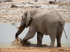

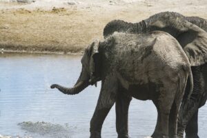
See all Etosha tours and activities
Some booking links are affiliate links. We may earn a commission at no extra cost to you. See our affiliate disclosure.
Road and vehicle considerations
The main routes between Windhoek, Outjo, Etosha, Tsumeb and Grootfontein are tarred and suitable for a standard sedan. Roads within Etosha itself are well-maintained gravel, also generally fine for a two-wheel-drive vehicle in dry conditions, though higher clearance is more comfortable.
Fuel, supplies and practical services
Outjo, Tsumeb and Grootfontein all have fuel, supermarkets and basic services, and are the natural places to fill up and restock before or after time in Etosha, where fuel and supplies are more limited and best treated as a backup rather than a primary source.
Responsible travel
As with Etosha itself, rhino sightings anywhere in this region should never be shared with specific location details, whether on social media or in conversation with other travellers, since this information can be misused by poachers. The Hoba Meteorite and Lake Otjikoto are both fragile natural features; visitors should stay on marked paths and not attempt to remove fragments or souvenirs.
Nearby regions
This region borders Damaraland to the west via Kamanjab, Waterberg and Otjozondjupa to the south via Otjiwarongo, North-Central Namibia to the north via Ondangwa, and Kavango to the east via the Trans-Caprivi Highway.
Existing destination guides
A full destination guide is available for Etosha National Park. Individual guides are now available for Outjo and Tsumeb; a Grootfontein guide is still to come.
Frequently asked questions
Should I stay in Outjo or Tsumeb, or inside Etosha itself?
Staying inside the park at a rest camp maximises game-viewing time, including floodlit night-time waterhole watching, while Outjo or Tsumeb work well as arrival or departure bases just before or after your time in the park.
Is Lake Otjikoto worth a stop?
Yes, particularly if you are travelling between Etosha and Tsumeb anyway; it is an easy short stop combining unusual geology with an unusual piece of First World War history.
Can I visit the Hoba Meteorite as a day trip from Etosha?
Yes, if you are exiting via the Von Lindequist Gate toward Tsumeb and Grootfontein; it is a worthwhile short detour rather than a full day’s excursion.
Last reviewed: July 2026.
Planning your Etosha visit?
Etosha is a highlight of nearly every Namibia itinerary. See Itineraries and Self-Drive Namibia to plan your route.
Browse DestinationsLast reviewed: 27 July 2026.
Further reading: our Etosha waterholes guide explains how to plan a day’s game viewing around the pans, and best time to visit Namibia covers how the wet and dry seasons change what you are likely to see.
Not sure which side of the park to base yourself on? Etosha east vs south vs west explains what each gate opens onto and which route each suits.