
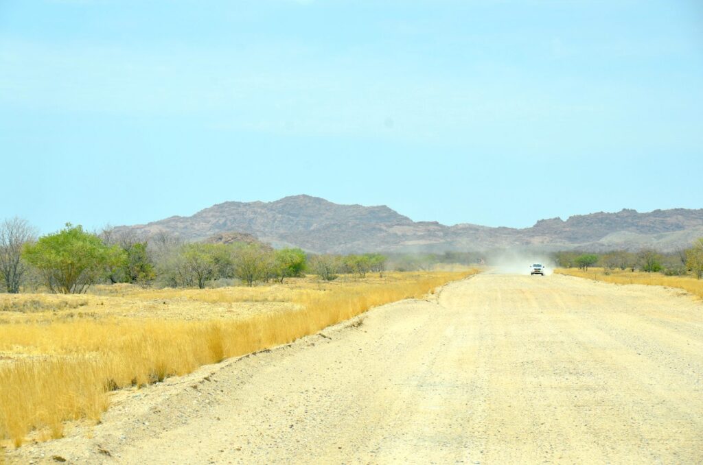
Namibia driving distances can be deceptive: a route that looks manageable in kilometres can become a seven-hour gravel drive. The tables below give approximate road distances and realistic travel times between the destinations most itineraries use, so you can sanity-check each leg before booking.
How to read these figures
Every distance below is an approximate road distance along the route a traveller would normally drive, not a straight-line measurement. Times are conservative planning estimates that assume daylight driving, a couple of short stops and no mechanical trouble. They are deliberately not optimistic.
Real driving time changes with road works, recent rain and grading condition on gravel, how many photo stops you make, your vehicle and tyres, whether you are towing, and which of several possible routes you take. Two travellers can drive the same leg three hours apart. Treat these as planning figures, and confirm the specific route on a current map before you set off.
Why 300 km on tar is not 300 km on gravel
This is the single most useful thing to understand about driving in Namibia. On the main tar roads — the B1, B2, B6 and B8 — you can reasonably plan around 80–90 km/h averaged over a leg. On maintained gravel, a sensible sustained speed is nearer 60–80 km/h, and on corrugated, sandy or freshly graded sections it drops well below that. The same 300 km is a comfortable three and a half hours on tar and can be a tiring five hours or more on gravel.
Gravel is not dangerous if you treat it as its own thing. It punishes speed, sudden steering and worn tyres, and it is much more tiring than tar because you are concentrating continuously. Our self-drive guide covers vehicle choice, tyres, punctures and road categories in full — this page is only about time and distance.
Planning rules of thumb
- Use a conservative average. Plan tar at 80 km/h and gravel at 60 km/h including stops. If the result looks unpleasant, it will be.
- Cap your driving days. Around 350–400 km on tar, or 250–300 km on gravel, is a comfortable day. Beyond that you arrive too tired to enjoy where you have got to.
- Fuel by opportunity, not by need. Fill up whenever you pass a station on a long leg, even at half a tank. Gaps of 200 km or more between reliable pumps are normal in the south, in Damaraland and along the Kavango.
- Finish before dark. Aim to arrive an hour before sunset. Namibian daylight is roughly 12 hours year-round, which is less generous than it sounds once you have lost time to a puncture.
- Never plan night driving. Kudu, warthog, and cattle and donkeys on unfenced verges are the real hazard, and they are far harder to see than the road.
- Break every two hours. Gravel fatigue arrives quietly and is a genuine safety factor on the second half of a long day.
- Add time inside parks. Distances in Etosha are short but speed limits and game viewing mean you should think in hours, not kilometres.
Classic central loop
The Windhoek – Sossusvlei – Swakopmund – Etosha circuit that most first trips are built from.
| Leg | Approx. distance | Surface | Allow |
|---|---|---|---|
| Windhoek → Sesriem (via Rehoboth and Rietoog) | ~350 km | Mostly gravel | 5½–7 hrs |
| Windhoek → Sesriem (via Mariental and Maltahöhe) | ~440 km | Mostly tar | 5–6 hrs |
| Sesriem → Sossusvlei 2WD car park | ~60 km | Tar, inside park | 1 hr each way |
| Sossusvlei car park → Deadvlei parking | ~5 km | Deep sand, 4×4 only | Shuttle available |
| Sesriem → Swakopmund (via Solitaire and the C14) | ~350 km | Mostly gravel | 5–6 hrs |
| Swakopmund → Walvis Bay | 33 km | Tar | 30 min |
| Swakopmund → Windhoek | 336 km | Tar | 4 hrs |
| Swakopmund → Okaukuejo (Etosha) | ~560 km | Tar and gravel | 7–8 hrs |
The two Windhoek–Sesriem options matter more than the distance suggests. The shorter gravel route through the Khomas Hochland is more scenic and slower; the longer tar route through Mariental is easier if you have arrived on an overnight flight or are not confident on gravel yet.
Etosha and the central north
| Leg | Approx. distance | Surface | Allow |
|---|---|---|---|
| Windhoek → Otjiwarongo | 245 km | Tar | 3 hrs |
| Otjiwarongo → Outjo | ~70 km | Tar | 50 min |
| Outjo → Okaukuejo (Andersson Gate) | ~110 km | Tar | 1½ hrs |
| Windhoek → Okaukuejo | ~434 km | Tar | 5 hrs |
| Windhoek → Namutoni | 533 km | Tar | 6 hrs |
| Okaukuejo → Namutoni (through the park) | ~130 km | Gravel, park roads | 2½–3 hrs at game-viewing pace |
| Otjiwarongo → Waterberg Plateau | ~90 km | Tar and gravel | 1¼ hrs |
| Windhoek → Tsumeb | 426 km | Tar | 5 hrs |
Southern Namibia
Long tar legs and big gaps between towns. The south rewards an extra night more than almost anywhere else on a Namibian route.
| Leg | Approx. distance | Surface | Allow |
|---|---|---|---|
| Windhoek → Mariental | 261 km | Tar | 3 hrs |
| Windhoek → Keetmanshoop | 482 km | Tar | 5–5½ hrs |
| Keetmanshoop → Hobas (Fish River Canyon) | ~290 km | Tar and gravel | 3½–4 hrs |
| Keetmanshoop → Lüderitz | 334 km | Tar | 4 hrs |
| Aus → Lüderitz | ~125 km | Tar | 1½ hrs |
| Windhoek → Lüderitz | 816 km | Tar | 9–10 hrs — split this |
| Swakopmund → Lüderitz | 731 km | Tar and gravel | 9–10 hrs — split this |
Windhoek to Lüderitz in one day is legal, possible and a poor idea. Keetmanshoop or Aus makes an obvious overnight break, and both are worth stopping for in their own right — see Keetmanshoop and Aus.
Damaraland
| Leg | Approx. distance | Surface | Allow |
|---|---|---|---|
| Outjo → Khorixas | ~180 km | Tar and gravel | 2–2½ hrs |
| Khorixas → Twyfelfontein | ~90 km | Gravel | 1½ hrs |
| Swakopmund → Twyfelfontein | ~330 km | Mostly gravel | 5 hrs |
| Twyfelfontein → Okaukuejo | ~300 km | Gravel then tar | 4–4½ hrs |
Damaraland is where gravel discipline matters most: distances between properties are long, signage is sparse and mobile coverage is patchy. Plan to arrive well before dark. See the Damaraland guide and Damaraland accommodation.
Kavango and Zambezi
The north-east is almost entirely tar and the driving is easy, but the legs are long and the region sits far from the rest of the classic route.
| Leg | Approx. distance | Surface | Allow |
|---|---|---|---|
| Windhoek → Rundu | 700 km | Tar | 8 hrs — consider splitting |
| Otjiwarongo → Rundu | 455 km | Tar | 5½ hrs |
| Rundu → Nkurenkuru | ~140 km | Tar | 1½–2 hrs |
| Rundu → Divundu | ~200 km | Tar | 2½ hrs |
| Divundu → Kongola | ~180 km | Tar | 2 hrs |
| Divundu → Katima Mulilo | ~290 km | Tar | 3½ hrs |
| Windhoek → Katima Mulilo | ~1,187 km | Tar | 2 days — do not attempt in one |
Adding the Zambezi changes the shape of a trip rather than just its length, because you either drive back the way you came or arrange a one-way vehicle return. See Kavango accommodation and Zambezi accommodation.
Where the overnight stops fall
The distances on this page only matter in relation to where you stop. These four bases break the classic route into legs nobody has to drive in the dark; a short selection is shown for each.
Windhoek
Lida Marie Guesthouse, Windhoek
A guesthouse on Sam Nujoma Drive, Windhoek, with an on-site restaurant and barbecue facilities. Check current…
Price Guide: N$750–N$850
View Property DetailsTown Lodge Windhoek, Namibia
Town Lodge Windhoek is a budget-to-midscale hotel in Kleine Kuppe with a pool, restaurant and free parking, close…
Price Guide: N$1,550–N$1,650
View Property DetailsHilton Garden Inn Windhoek
Hilton Garden Inn Windhoek is a branded international hotel in the city's business district, close to museums and…
Price Guide: N$2,100–N$2,200
View Property Details
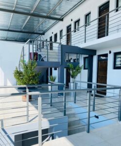

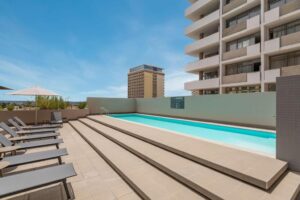
Check Windhoek availabilityBrowse all Windhoek accommodation
Sesriem and Sossusvlei
Sossus Oasis Campsite
Sossus Oasis Campsite sits right at the entrance gate to Namib-Naukluft National Park in Sesriem, making it one of…
Price Guide: N$650–N$720
View Property DetailsDesert Camp
Desert Camp is a self-catering camp on a farm off the D826, about 5 kilometres from Sossusvlei Lodge and the…
Price Guide: N$2,682–N$2,862
View Property DetailsGondwana Namib Desert Lodge
Gondwana Namib Desert Lodge is built against a wall of fossilised dunes north of Sesriem, and that backdrop is the…
Price Guide: N$5,084
View Property Details


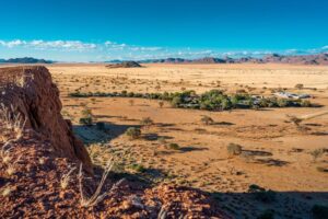
Check Sesriem and Sossusvlei availabilityBrowse all Sesriem and Sossusvlei accommodation
Swakopmund
Sea Wind Self Catering Cottages Swakopmund
Sea Wind Self Catering Cottages Swakopmund is a 5-minute drive from Ocean View Shopping Centre, with Platz am Meer…
Price Guide: N$1,250
View Property DetailsHotel Deutsches Haus Swakopmund
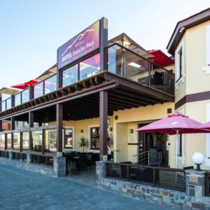
Hotel Deutsches Haus Swakopmund is a well-established hotel on Luderitz Street in central Swakopmund, built around…
Price Guide: N$2,600–N$2,800
View Property DetailsStrand Hotel Swakopmund
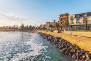
Strand Hotel Swakopmund is a beachfront hotel on the Mole in Swakopmund, Namibia, with sea-facing rooms and several…
Price Guide: N$7,800–N$8,300
View Property Details
Check Swakopmund availabilityBrowse all Swakopmund accommodation
Etosha
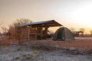
Etosha Trading Post Campsite
Etosha Trading Post Campsite sits on the southern approach to Etosha, within convenient reach of the Andersson…
Price Guide: N$585
View Property DetailsEtosha Village
Etosha Village is a larger lodge just 1.2 miles from the Andersson entrance gate, built around two pools and set up…
Price Guide: N$4,200–N$4,500
View Property DetailsOngava Lodge
Ongava Lodge sits on the private Ongava reserve on Etosha’s southern boundary, immediately outside the…
Price Guide: N$26,000
View Property Details
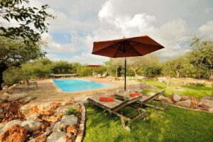
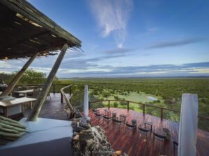
Some booking links are affiliate links. We may earn a commission at no extra cost to you. See our affiliate disclosure.
Trans-Kalahari and the east
| Leg | Approx. distance | Surface | Allow |
|---|---|---|---|
| Windhoek → Gobabis | 205 km | Tar | 2½ hrs |
| Gobabis → Buitepos (Botswana border) | ~120 km | Tar | 1½ hrs |
The Trans-Kalahari is the standard overland approach from Botswana and Johannesburg. Allow generous time for the border itself rather than for the driving.
Turning distances into an actual route
Once the legs make sense, the useful next step is a route with nights already allocated. Each of these is built around driving days that stay inside the caps above:
- 7-day itinerary — Sossusvlei, Swakopmund and southern Etosha at a fast pace
- 10-day itinerary — the same classic route plus Damaraland, with more breathing room
- 14-day itinerary — adds the southern loop; the strongest all-round first trip
- 21-day itinerary — the full national route including Kavango and the Zambezi
For the driving side in detail — vehicle choice, when a 4×4 is genuinely needed, tyres and fuel planning — read Self-Drive Namibia. Season affects road condition more than any other single factor, so it is worth checking the best time to visit Namibia before fixing dates. Places to sleep along each corridor are indexed under accommodation.
How these figures were compiled
Distances were cross-checked against published Namibian route data and mapping sources rather than estimated, and corridor totals were checked for internal consistency — the Windhoek–Rundu, Rundu–Divundu and Divundu–Katima Mulilo legs, for example, sum to within a few kilometres of the published Windhoek–Katima Mulilo total. Figures marked with a tilde are rounded approximations. Where sources disagreed we have used the more conservative figure. If you spot an error, our corrections policy explains how to tell us. Distance is only half the picture: the best scenic drives in Namibia covers which of these stretches are worth the extra hours.
Distances into neighbouring countries come with an administrative cost as well as a driving one. Crossing the border into Namibia by car sets out the documents, the cross-border charge and the opening hours of the main posts.