
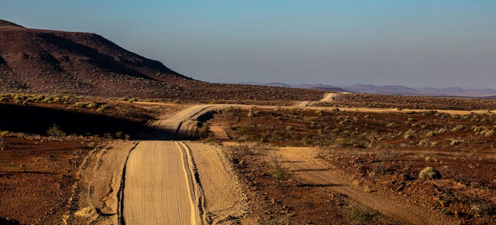
Namibia’s B, C and D Roads: What the Classification Means in Practice
Namibia road classifications help travellers read a route, but the letter on the map is not a guarantee of surface,
Practical planning guides covering timing, packing, self-drive preparation and trip logistics for Namibia.
Namibia road classifications help travellers read a route, but the letter on the map is not a guarantee of surface,
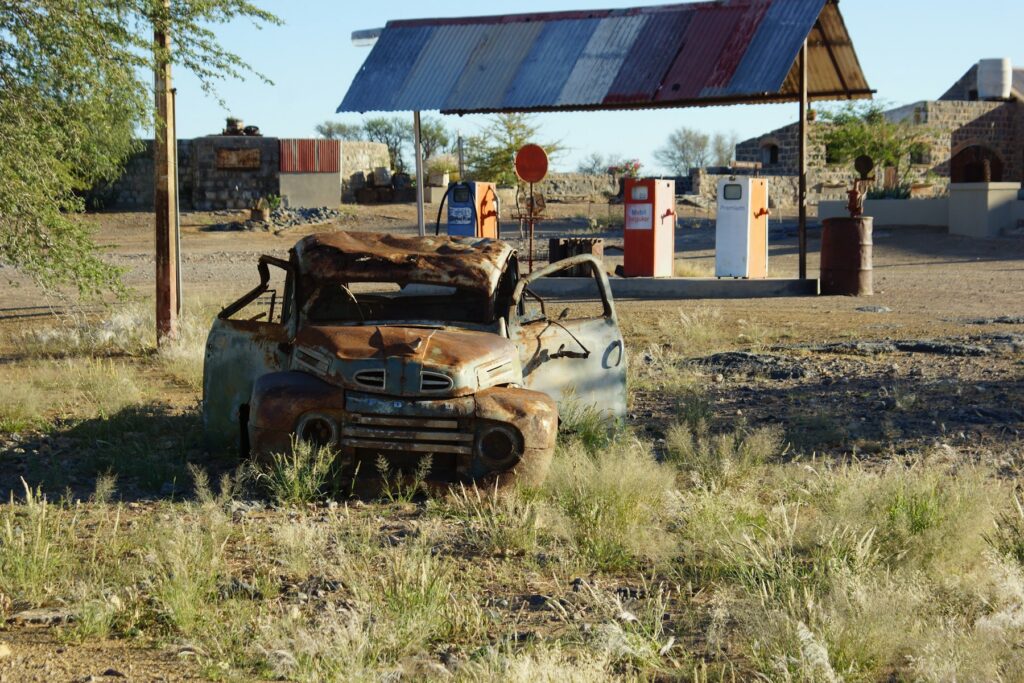
Namibia fuel range planning is less about finding one maximum distance and more about building margin into every remote day.
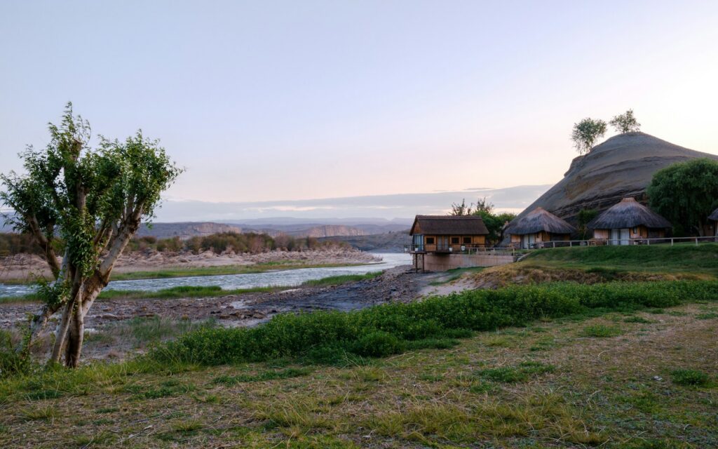
The Noordoewer border crossing links southern Namibia with Vioolsdrif in South Africa across the Orange River. For self-drive travellers, the
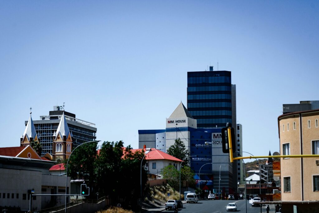
A Windhoek base should solve the practical needs of the first or last night: airport timing, vehicle collection, shopping, meetings,
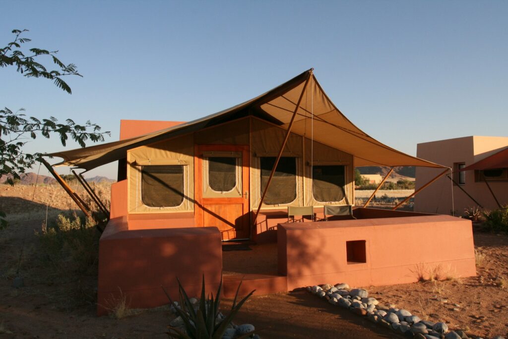
Namibia public campsites range from developed national-park facilities to simple community or municipal grounds. A first-time camper should expect variation:
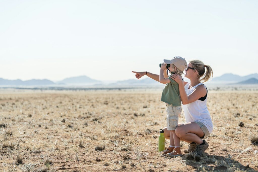
Namibia with young children can be rewarding when the route is designed around energy, shade, food and predictable sleep rather
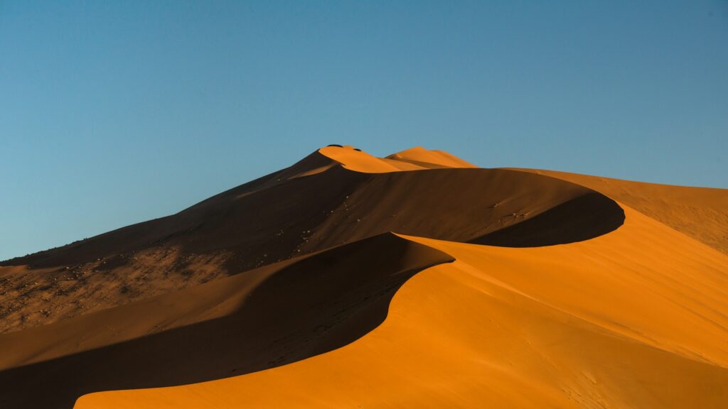
Namibia desert heat can turn a normal walk, tyre change or delayed transfer into a health emergency faster than many

The journey from Hosea Kutako Airport to Windhoek is the first practical decision for most international visitors. The airport is
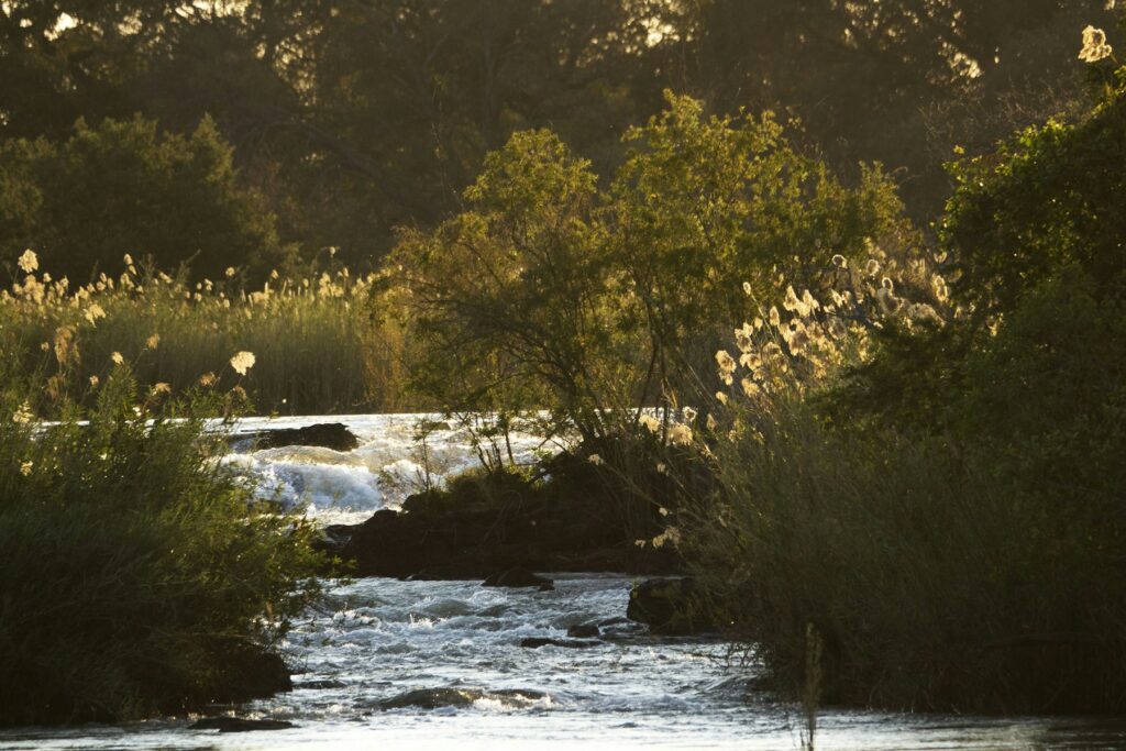
A Rundu stop breaks one of Namibia’s longest east–west travel corridors and provides fuel, food, cash, repairs and accommodation beside
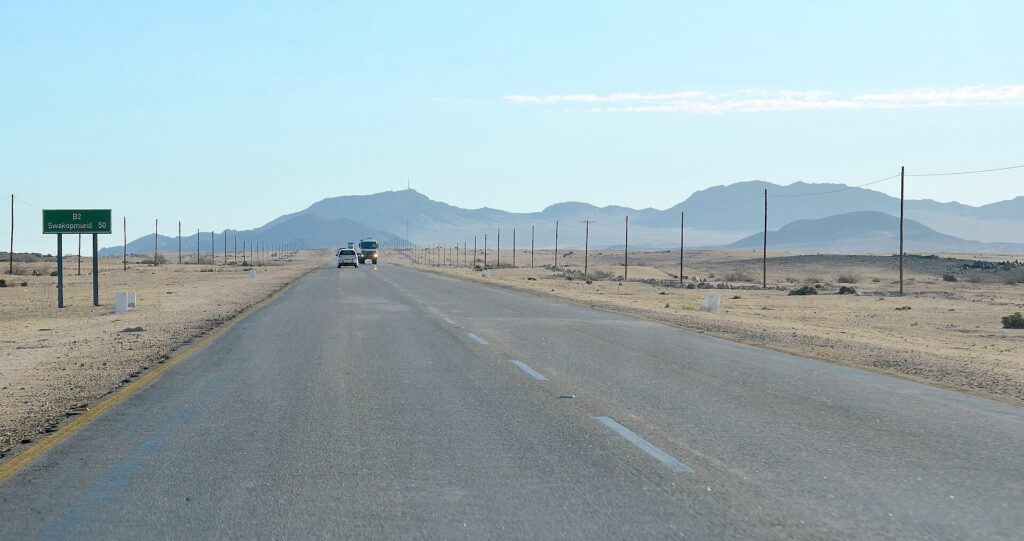
The classic Namibia highlights are spread across a country larger than most first-time visitors expect. Sossusvlei, Swakopmund, Damaraland and Etosha