
The Swakopmund to Etosha route rewards a plan built around distance, weather and the limits of the day. The practical choice is rarely the one that fits the greatest number of stops on a map; it is the one that leaves enough time to arrive safely, understand the place and respond when conditions change.
This guide turns the Swakopmund to Etosha route into a workable sequence. It focuses on access, timing, comfort and responsible decisions, with details that should be checked against current official advice shortly before travel.
In this guide
Swakopmund to Etosha route: a practical overview
A strong plan for the Swakopmund to Etosha route separates fixed limits—official access, daylight, fuel, weather and personal ability—from preferences that can change. Confirm the fixed limits first, then add accommodation and activities without relying on maximum driving speeds or guaranteed wildlife and weather.
Choose direct or scenic before departure
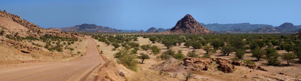
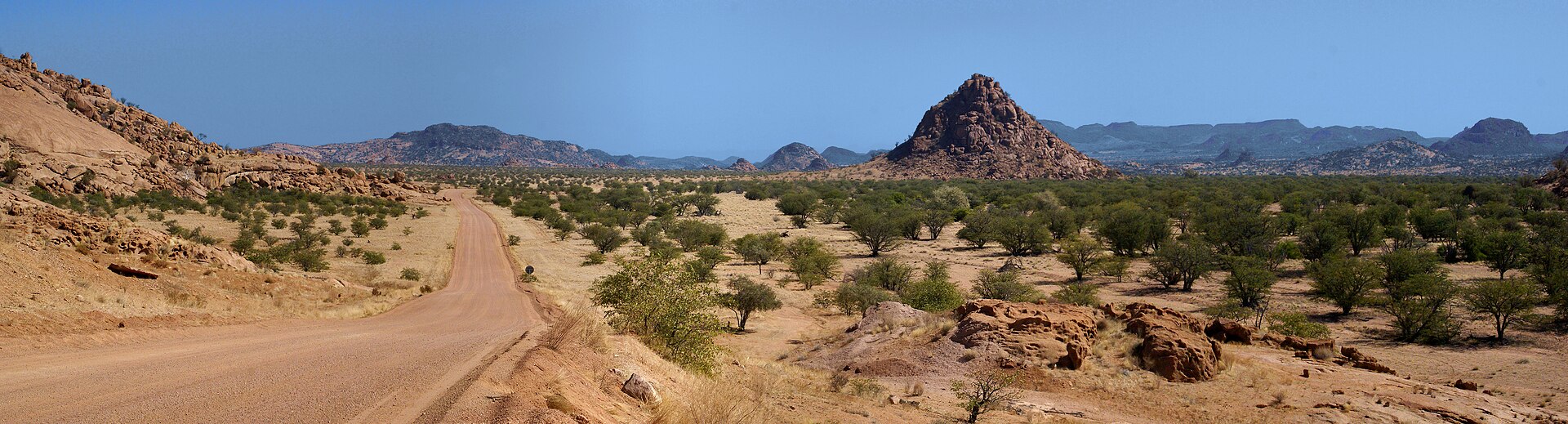
The Swakopmund to Etosha route can be driven as a long direct day or divided through Damaraland. The better choice depends on available nights, the Etosha gate being used and whether rock art or desert scenery is a genuine priority.
Treat each stage of the plan as a decision point rather than a promise. Ask the accommodation, guide, rental company or site authority what applies to the exact date, and keep enough margin to change course without creating a second problem.
Understand the direct day
A direct Swakopmund to Etosha route is a purposeful transfer. Leave early with fuel, water and food, and resist adding a major morning activity on the coast. Build arrival margin around park gate times rather than the most optimistic map estimate.
Use Damaraland as a stay, not a shortcut
One or two nights near Uis, Khorixas or Twyfelfontein create a scenic Swakopmund to Etosha route, but the detour only works when there is time for a guided visit or landscape experience. A single late arrival followed by an early departure adds distance without depth.
Match the route to the right gate
Andersson Gate generally suits arrivals from the south-west; Von Lindequist suits an eastern approach. Confirm current access and camp reservations before fixing the Swakopmund to Etosha route, because the booked camp may matter more than the park name on the map.
Treat fuel and daylight as fixed limits
Top up before leaving the coast and again at dependable towns. Mobile coverage and services thin out, while wildlife and livestock can make dusk driving hazardous. The Swakopmund to Etosha route should finish in daylight.
Connect the plan to the right local service
Compare the route, stay or guided experience by practical fit and current access, not by a generic ranking.
Final checks before you travel
- Choose the park gate before reserving the final coastal night.
- Do not combine a direct transfer with a full morning tour.
- Carry water, food and offline maps.
- Confirm fuel stops without relying on one pump.
- Check gate times and road conditions close to travel.
Read the Namibia Tourism Board’s current guidance and use our related Namibia planning guide for the wider route. Good planning for the Swakopmund to Etosha route is specific about uncertainty: access, weather, wildlife and road conditions can change, so the final decision belongs close to the travel date.