
Fish River Canyon
One of the largest canyons in Africa — a vast, layered gorge cut into the southern Namibian plateau.
Destinations › Southern Namibia › Fish River Canyon
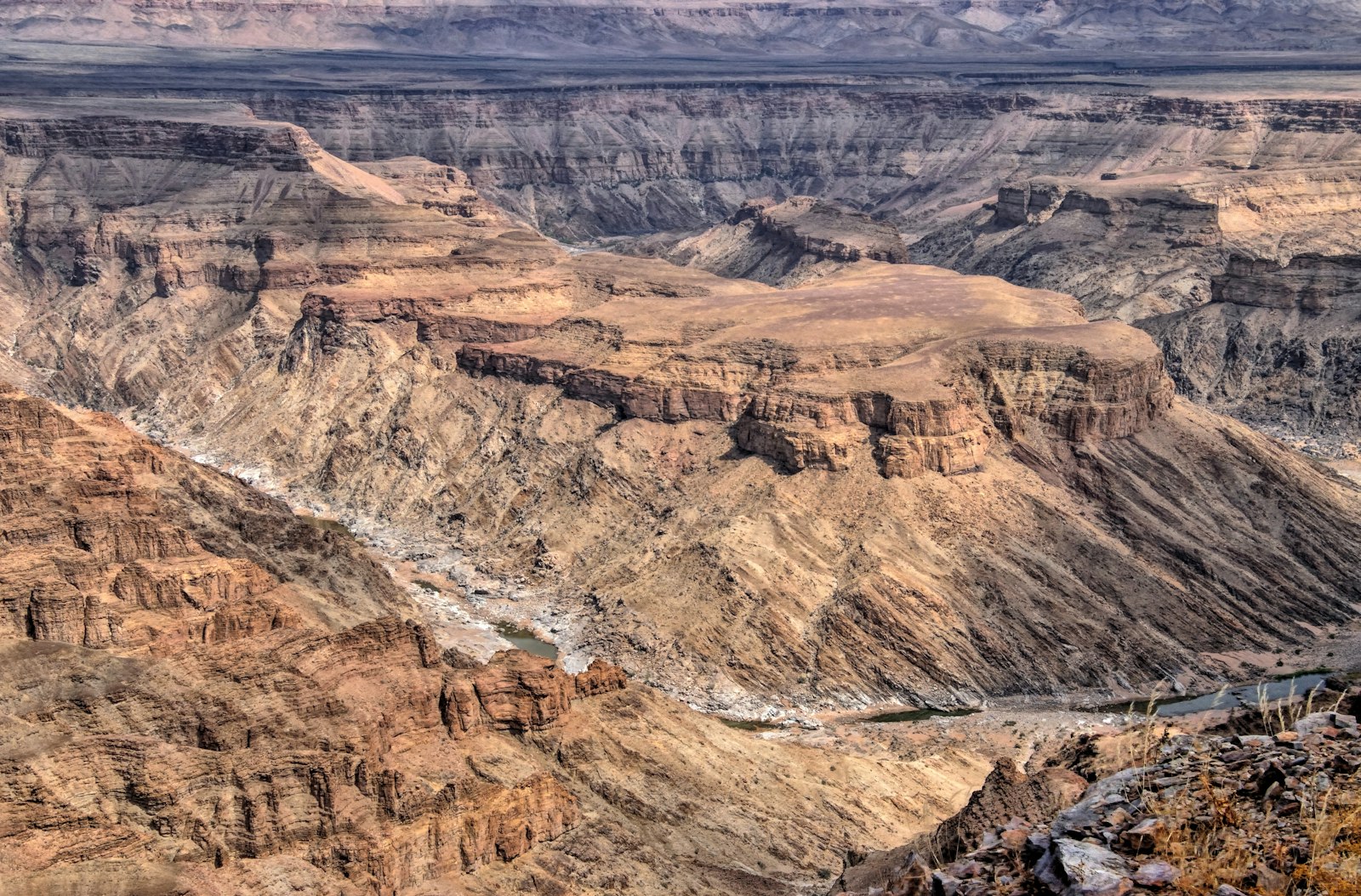
The Fish River Canyon is one of the largest canyons in Africa and among the largest in the world, a vast gorge cut into the plateau of southern Namibia by the Fish River over a very long geological timescale. Roughly 160 km long, up to about 27 km wide and in places some 550 m deep, the canyon is a highlight of any southern Namibia itinerary, whether seen from its rim viewpoints or tackled on foot on the multi-day hiking trail that runs along its floor.
Canyon geography and formation
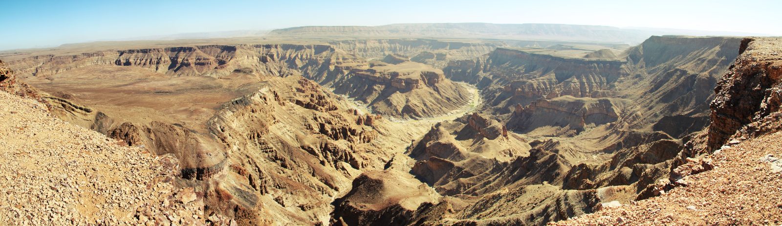
The Fish River Canyon was shaped by a combination of ancient geological faulting and rifting, followed by long-term erosion as the Fish River cut down through the resistant plateau rock. The result is a dramatic, layered gorge with a winding river course visible far below the rim, including a distinctive meander known as “Hell’s Bend”. The canyon forms part of the Ai-Ais/Richtersveld Transfrontier Park, a protected area managed jointly with South Africa’s adjoining Richtersveld National Park across the Orange River.
Main viewpoints
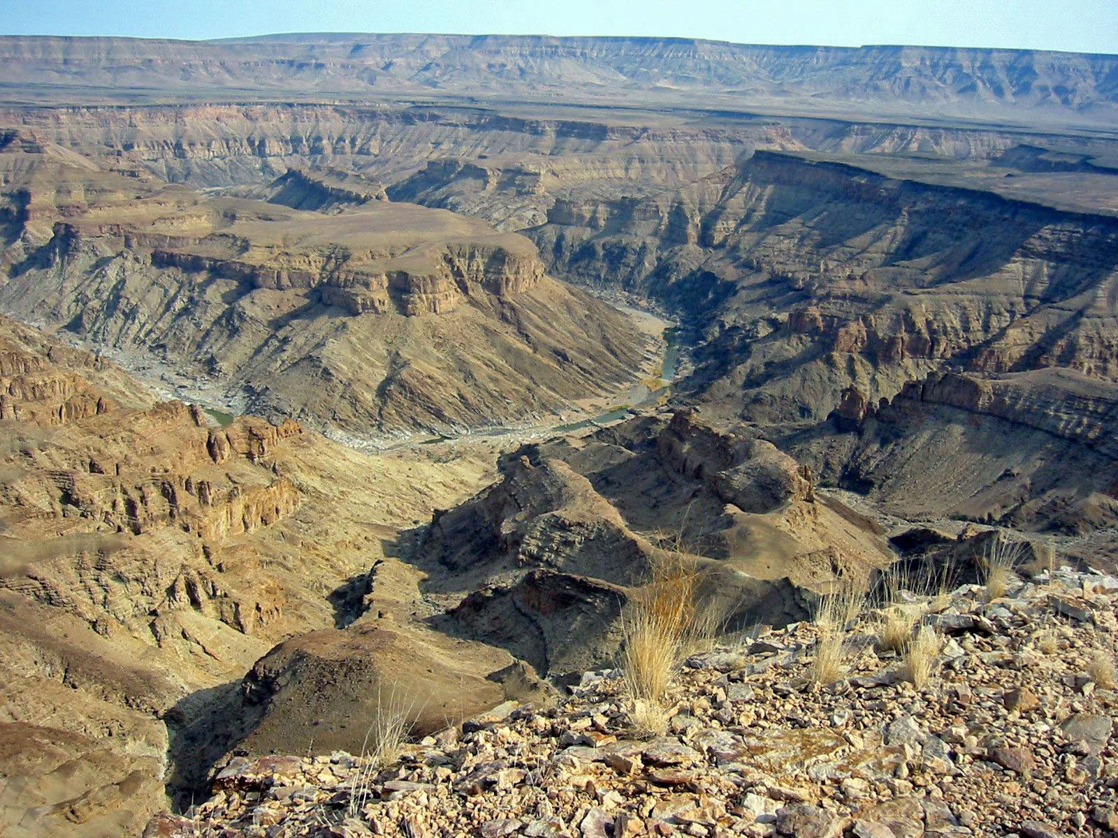
Several viewpoints along the canyon’s northern rim, reached via the Hobas area, offer sweeping views into the gorge, including the popular main viewpoint often used for sunrise and sunset photography. The viewpoints require no hiking beyond a short walk from designated parking areas, making them accessible to travellers who do not plan to descend into the canyon itself.
The Fish River Canyon hiking trail
The canyon is best known among hikers for its multi-day trail along the river floor, typically covering around 90 km between Hobas in the north and the Ai-Ais hot springs in the south over roughly four to five days. This is a demanding, unsupported wilderness route across soft sand, boulder fields and river crossings, and it is only open during the cooler months, since summer heat and the risk of flash flooding make it unsafe. The trail is managed by the relevant Namibian park authorities, and prospective hikers should confirm current permit requirements, opening dates and any medical or group-size conditions directly with the authority before planning a trip, since these details change from time to time.
Ai-Ais hot springs

At the canyon’s southern end, the Ai-Ais hot springs resort takes its name from a Nama phrase referring to the site’s hot water, and marks the traditional finishing point for the multi-day hiking trail. The springs and resort facilities offer a place to recover after the hike or to visit independently by road.
Why visit
The Fish River Canyon suits travellers seeking dramatic desert scenery and either a rewarding multi-day wilderness hike or a scenic rim-top stop as part of a wider southern Namibia route, often combined with Lüderitz, Kolmanskop and the Namib-Naukluft area further north.
Accommodation areas
Accommodation is available near Hobas at the northern end, at the Ai-Ais resort in the south, and at a scattering of lodges and guest farms along the approach roads, ranging from camping to more established resort-style facilities at Ai-Ais. You can browse Fish River Canyon accommodation by price and type on the accommodation hub.
Where to stay near Fish River Canyon
There is no accommodation at the viewpoints themselves. Beds are spread between Hobas, the Gondwana properties on the C37, Ai-Ais and the guest farms along the B4. These three show the range.
Places to stay near Fish River Canyon
Canyon Roadhouse Campsite
Basic bring-your-own-tent campground next to the Gondwana Canyon Roadhouse on the D601.
Price Guide: N$720
View Property DetailsGondwana Canyon Village
Stone-and-thatch lodge inside the private Gondwana Nature Park, about 19km from the Fish River Canyon viewpoint.
Price Guide: N$3,700
View Property DetailsFish River Lodge
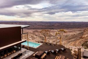
Fish River Lodge sits directly on the western rim of Fish River Canyon in southern Namibia, inside the private…
Price Guide: N$7,900–N$8,600
View Property Details


Check live availabilityBrowse all Fish River Canyon accommodation
Some booking links are affiliate links. We may earn a commission at no extra cost to you. See our affiliate disclosure.
Getting there and around
Most visitors approach via Grünau, on the main north-south route through southern Namibia, then follow gravel roads west towards Hobas and the main viewpoints. The Ai-Ais end of the canyon can also be reached by road from the south, via Keetmanshoop and Grünau or via the Orange River border area.
The rim viewpoints are reached by vehicle and short walks; exploring the canyon floor itself is only possible on the multi-day hiking trail during its open season, since there is no vehicle access into the gorge.
Access roads to the viewpoints are gravel and generally manageable in a standard vehicle in good conditions, though a higher-clearance vehicle is preferable, particularly after rain. Self-drivers should carry sufficient water, fuel and a spare tyre, as services are limited in this remote part of the country.
Good to know
The cooler months from around May to September are the most comfortable for visiting the viewpoints and are also when the hiking trail is normally open; summer temperatures in the canyon can be dangerously high, and this is generally outside the hiking season.
A visit to the viewpoints alone can be done in half a day, though many travellers stay one or two nights nearby to see both sunset and sunrise over the canyon. Hikers attempting the full trail should plan for four to five days on the route itself, plus time to arrange transport and permits.
The canyon rim has unfenced drops in places, so care is needed near the edge, particularly with children. The multi-day hiking trail is a serious wilderness undertaking with limited rescue access, extreme heat risk in the wrong season and occasional flash-flood danger, and should only be attempted within the official season and, where required, with the appropriate permits and preparation.
Stay behind safety barriers or well back from unfenced viewpoint edges, keep to marked trails and existing paths, and carry out all rubbish, since the canyon floor is a remote wilderness area with no waste collection along the hiking route.
Day trips and nearby destinations
Keetmanshoop and Grünau serve as service towns for the wider area, while Lüderitz and the Namib-Naukluft area lie further north for travellers continuing a longer southern Namibia route.
Frequently asked questions
Can I see the canyon without hiking it?
Yes. The rim viewpoints near Hobas are reached by vehicle and a short walk, and give sweeping views into the canyon without requiring the multi-day hike.
When is the hiking trail open?
The trail generally operates only during the cooler months, as summer heat and flash-flood risk make it unsafe outside this period. Exact opening dates and permit conditions should be confirmed with the relevant park authority before planning a trip.
Is the Fish River Canyon suitable for a day trip?
Visiting the viewpoints works well as a half-day or full-day stop, though many travellers prefer to stay overnight nearby to see both sunset and sunrise over the canyon.
Where to go next
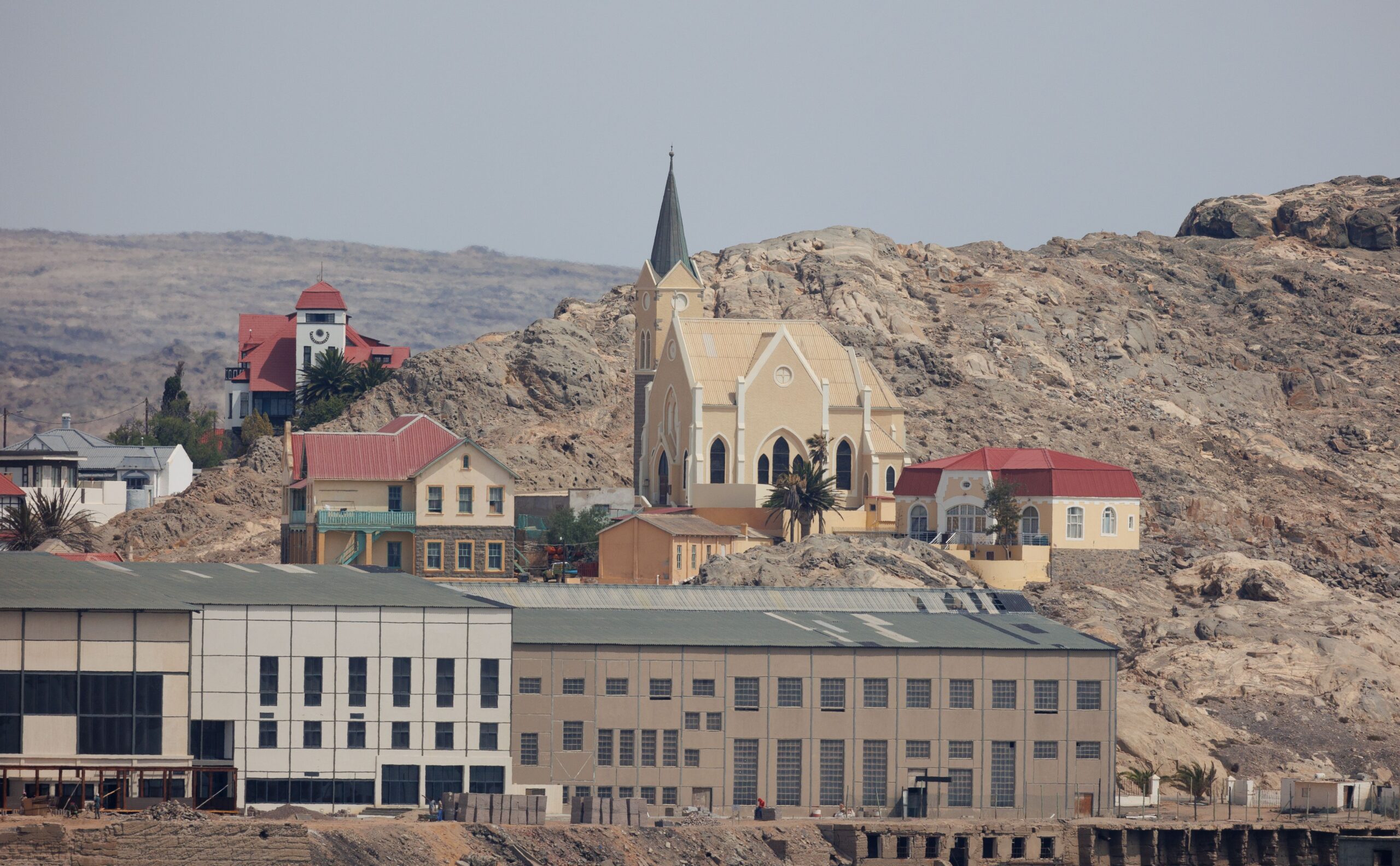
Lüderitz
A remote colonial coastal town, reachable on the same southern circuit.
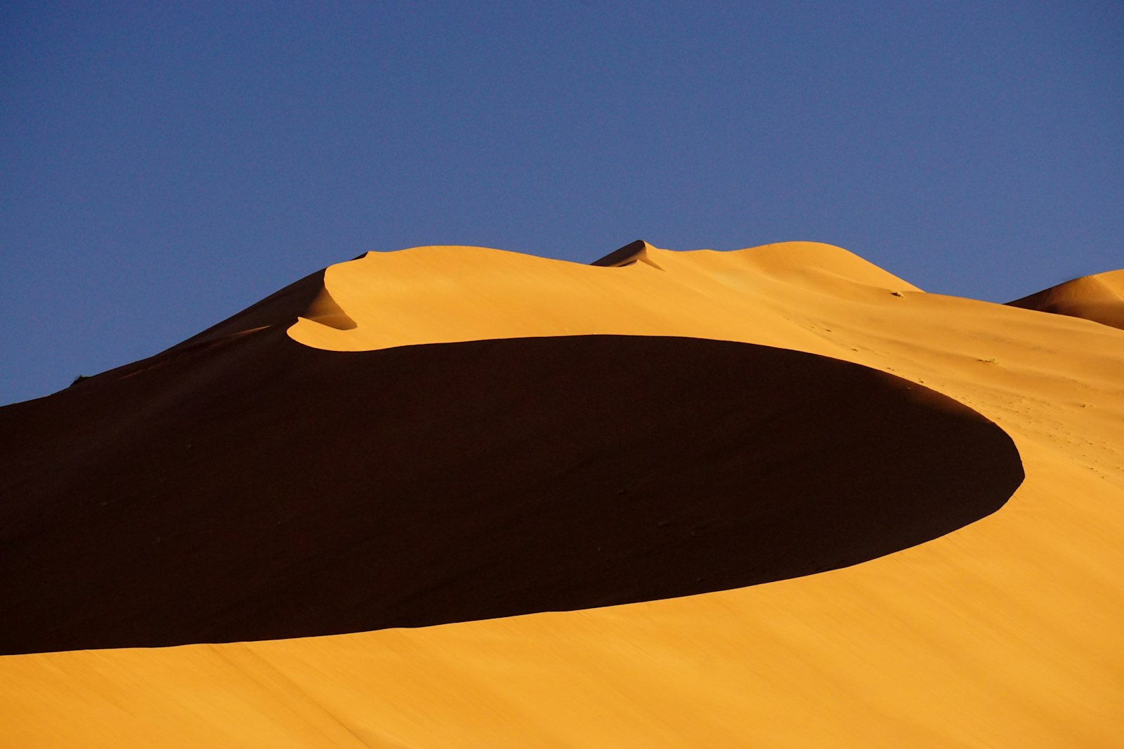
Sossusvlei
Namibia’s iconic red dunes, further north on the same route.

Self-Drive Namibia
Route-planning guidance for the gravel roads of the far south.
How the canyon formed
The Fish River Canyon is not the product of river erosion alone. The broad outer valley follows an ancient zone of weakness in the rock, and the landscape dropped and fractured along those lines long before the present river existed. The Fish River then cut the narrower inner gorge into that older, wider trough, which is why the canyon reads as two nested valleys rather than a single V.
The Fish River is Namibia’s longest interior river, but it is ephemeral for most of its length, running strongly only after summer rain and shrinking to a chain of pools for much of the year. That seasonality is central to how the canyon is visited: the pools sustain the hiking route in the cooler months, and the same watercourse becomes impassable and dangerous when it floods.
Nearby destinations
The Fish River Canyon lies within the wider Southern Namibia region, with Lüderitz and Kolmanskop further west and the Namib-Naukluft area to the north.
Planning your route south?
Fish River Canyon pairs naturally with Lüderitz and the wider southern Namibia circuit — plan the drive before you go.
Self-Drive Namibia guide See all destinationsSee the Southern Namibia regional guide for wider context. Last reviewed: 23 July 2026.
Planning a longer trip? See our Namibia itineraries to see how Fish River Canyon fits into a 7-, 10-, 14- or 21-day route.